
Mulhacén Peak, the highest point in the Iberian Peninsula, beckons adventurous hikers with its challenging two-day ascent. The route takes trekkers through a scenic pine forest, along the Mulhacén river, and up to the Poqueira refuge for an overnight stay. From there, the final push to the summit offers breathtaking views of the surrounding peaks. While the climb isn’t for the faint of heart, those who conquer Mulhacén will be rewarded with a true sense of accomplishment and panoramic vistas that few get to experience.
Key Points
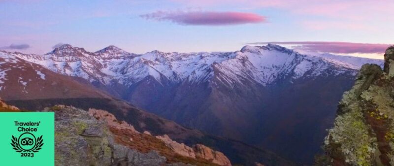
- Mulhacén is the highest peak in the Iberian Peninsula, standing at an impressive 3,480 meters in the Sierra Nevada mountain range in southern Spain.
- The ascent to the summit is a challenging two-day hike with an overnight stay at the Poqueira refuge, traversing a picturesque pine forest and Mulhacén river.
- The hike starts at the Hoya del Portillo in Capileira, winding through a pine forest with twisted, gnarled trees before reaching the Poqueira refuge at 2,500 meters.
- The ascent from the Poqueira refuge continues along the Mulhacén river to the Caldera lagoon at 3,000 meters, offering stunning views of surrounding peaks.
- Hikers then descend back to the Hoya del Portillo in Capileira, with the opportunity to spot wildlife, unique rock formations, and vibrant wildflowers along the way.
Contents
- Key Points
- Highest Mountain in Iberian Peninsula
- Mulhacén Ascent Route Overview
- Starting Point at Hoya Del Portillo
- Crossing the Pine Forest
- Overnight Stay at Poqueira Refuge
- Ascent to Caldera Lagoon
- Views From Ciervo Pass
- Descent to Hoya Del Portillo
- Frequently Asked Questions
- What Is the Best Time of Year to Climb Mulhacén?
- Are There Any Wildlife Sightings Along the Trail?
- Can I Rent Equipment at the Trailhead or Refuge?
- Is the Trail Well-Marked and Easy to Follow?
- What Is the Difficulty Level of the Mulhacén Climb?
- Recap
Highest Mountain in Iberian Peninsula

Mulhacén, standing at an impressive 3,480 meters, is the highest mountain in the Iberian Peninsula.
This majestic peak is located within the Sierra Nevada mountain range in southern Spain, near the city of Granada.
Reaching the summit requires a challenging two-day hike, with an overnight stay at the Poqueira refuge at 2,500 meters.
The route traverses a picturesque pine forest and ascends along the Mulhacén river, culminating in stunning views of the surrounding peaks, including the Alcazaba.
Despite its height, the mountain is a popular destination for experienced hikers and climbers, who are drawn to its breathtaking landscapes and the sense of accomplishment that comes with conquering Spain’s highest point.
Mulhacén Ascent Route Overview
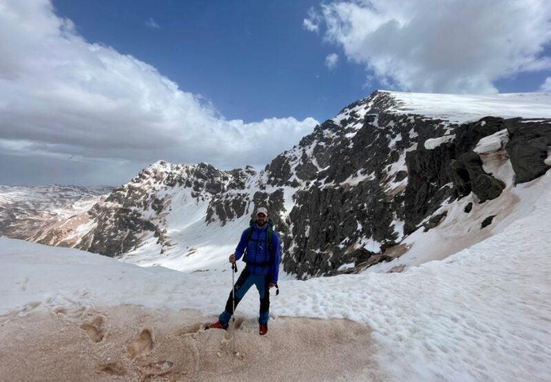
The ascent to the summit of Mulhacén takes place over two days, with climbers spending the night at the Poqueira refuge located at an elevation of 2,500 meters.
From the starting point at Hoya del Portillo in Capileira, the route winds through a pine forest with twisted trees. Reaching the Poqueira refuge, climbers then continue their ascent along the Mulhacén river to the Caldera lagoon at 3,000 meters.
After a rest at the Ciervo pass, with views of the Alcazaba and Mulhacén peaks, the final push to the summit is made. Once at the top, climbers then descend back to Hoya del Portillo in Capileira.
Starting Point at Hoya Del Portillo
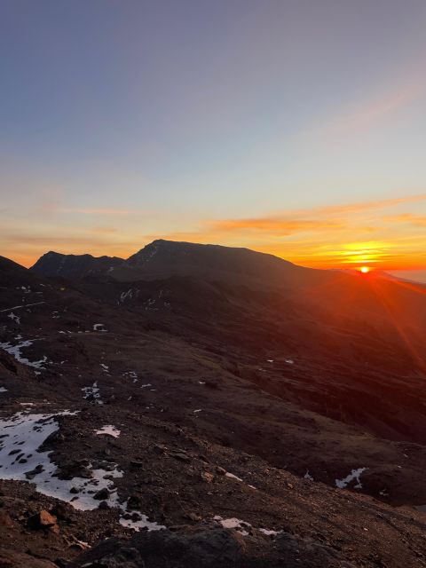
From out of Capileira, the trail to Mulhacén’s summit begins at Hoya del Portillo, a scenic meadow nestled among towering pine trees with twisted trunks.
This peaceful starting point sets the tone for the challenging ascent ahead. Hikers will cross through the pine forest, appreciating the gnarled, weathered appearance of the trees as they steadily gain elevation.
Along the way, glimpses of the surrounding peaks and ridges provide a tantalizing preview of the dramatic landscapes that await.
The gradual climb through this forested area is a gentle warm-up before the steeper sections that lead up to the Poqueira refuge and beyond.
With a keen eye and sense of anticipation, adventurers embark on their journey to the roof of the Iberian Peninsula.
Crossing the Pine Forest
Twisted, gnarled pines line the trail as hikers steadily ascend through the forest, catching glimpses of the surrounding peaks through the canopy.
The path winds its way through this dense, high-altitude woodland, offering a scenic prelude to the challenging climb ahead.
Along the way, hikers may spot:
- Vibrant wildflowers blooming amidst the trees
- Squirrels and small birds flitting from branch to branch
- Unique rock formations and geological features
- Signs of wildlife, like tracks or scat, in the soft forest soil
The evergreen forest provides a peaceful respite before the steeper, more exposed terrain of the upper mountain becomes the focus of the journey to Mulhacén’s summit.
More Great Tours NearbyOvernight Stay at Poqueira Refuge
After crossing the pine forest, climbers reach the Poqueira refuge, a rustic mountain shelter nestled at an elevation of 2,500 meters. This refuge serves as an important overnight stop, allowing hikers to rest, refuel, and prepare for the challenging ascent to Mulhacén’s summit the following day. Inside the refuge, climbers can find basic amenities like dormitories, a communal dining area, and access to potable water. The refuge also provides a unique opportunity for camaraderie, as climbers can share their experiences and lessons learned with one another.
| Facility | Description |
|---|---|
| Dormitories | Shared sleeping quarters with bunk beds |
| Dining Area | Communal space for meals and socializing |
| Water | Potable water source available on-site |
| Supplies | Basic mountaineering equipment and provisions for sale |
| Staff | Refuge personnel to provide assistance and information |
Ascent to Caldera Lagoon
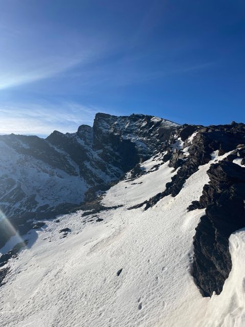
As climbers depart the Poqueira refuge, they embark on the ascent towards Caldera lagoon, a glacial lake situated at an elevation of 3,000 meters. The path follows the Mulhacén river, winding through the rugged terrain of the Sierra Nevada mountain range.
The journey offers breathtaking views:
- Towering peaks of Alcazaba and Mulhacén rise above the landscape.
- Sparse vegetation clings to the rocky slopes, adapted to the harsh alpine environment.
- Streams and waterfalls cascade down the mountainsides, fed by melting snow.
The air grows thinner, putting strain on the lungs, but the stunning scenery provides ample motivation to push on.
Views From Ciervo Pass
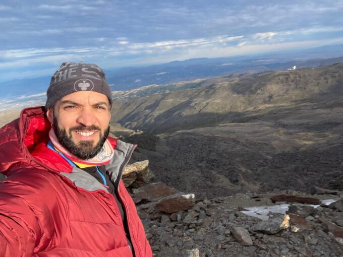
At the Ciervo pass, climbers pause to admire the spectacular vistas unfolding before them. They’re rewarded with breathtaking views of the towering Alcazaba and Mulhacén peaks, which dominate the surrounding landscape. The pass offers a perfect vantage point to take in the grandeur of the Sierra Nevada mountains.
| Peak | Elevation (m) |
|---|---|
| Alcazaba | 3,367 |
| Mulhacén | 3,480 |
Climbers can gaze upon the Caldera lagoon, a serene body of water nestled amidst the rugged terrain. The panoramic views from the Ciervo pass provide a moment of respite and inspiration, fueling the determination to push onward and reach the summit of Mulhacén.
Descent to Hoya Del Portillo
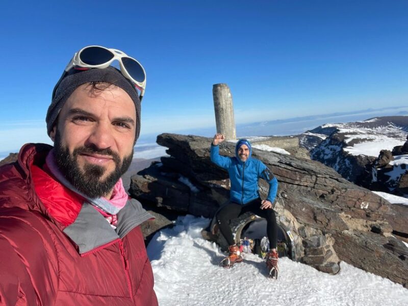
From the summit of Mulhacén, climbers descend the rugged terrain, retracing their steps back to Hoya del Portillo in Capileira.
The return journey offers a different perspective on the dramatic landscapes they’ve traversed, now viewed from a different vantage point.
The descent is a test of stamina and surefootedness, as the path winds through rocky outcroppings and scree slopes.
Along the way, climbers may encounter:
- Stunning views of the Poqueira Valley and the surrounding Sierra Nevada peaks
- Opportunities to spot wildlife, such as Iberian ibex and golden eagles
- Shifts in vegetation, transitioning from alpine to pine forests
- Challenging sections that require careful footing and use of trekking poles
Reaching the trailhead at Hoya del Portillo marks the successful completion of the Mulhacén ascent.
Frequently Asked Questions
What Is the Best Time of Year to Climb Mulhacén?
The best time to climb Mulhacén is during the summer months of June through September. This is when weather conditions are most favorable, with milder temperatures and less snow on the mountain.
Are There Any Wildlife Sightings Along the Trail?
Along the Mulhacén trail, hikers might spot Iberian ibex, golden eagles, and alpine choughs. While wildlife sightings aren’t guaranteed, the diverse mountain ecosystem provides opportunities to observe Spain’s iconic high-altitude species.
Can I Rent Equipment at the Trailhead or Refuge?
Yes, you can rent equipment like ice axes and crampons at the trailhead or Poqueira refuge. They offer common trekking gear for hikers who don’t have their own. This makes it convenient for those not fully equipped for the climb.
Is the Trail Well-Marked and Easy to Follow?
The trail to Mulhacén is generally well-marked and easy to follow, with clear signage along the route. However, hikers should exercise caution in poor weather conditions and bring navigation aids like a map and compass.
What Is the Difficulty Level of the Mulhacén Climb?
The Mulhacén climb is generally considered a moderate-to-strenuous trek, requiring good physical fitness and experience. The two-day route involves significant ascent, high elevation, and potential snow/ice conditions, making it a challenge for inexperienced hikers.
Climb to Mulhacén Peak
Recap
The climb to the Mulhacén Peak, the highest mountain in the Iberian Peninsula, offers an exhilarating challenge. Trekkers will be rewarded with stunning panoramic views of the surrounding peaks and a sense of accomplishment upon reaching the summit.
The two-day hike through the picturesque pine forests and up to the Poqueira refuge provides an unforgettable outdoor adventure.
You can check availability for your dates here: